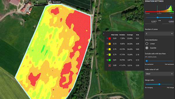
Turn drone and satellite imagery into crop-health maps, zonations and ready-to-use prescription maps — in minutes, even offline in the field. Saving time, money and inputs has never been easier.
Yields Logic is an authorized PIX4Dfields reseller and trainer · Windows & macOS · available in 11 languages.
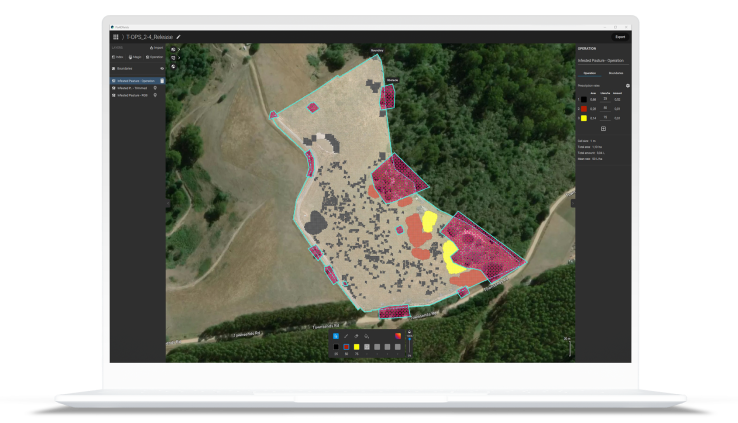
Create maps without leaving the field — fully offline processing for faster decisions.
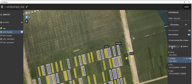
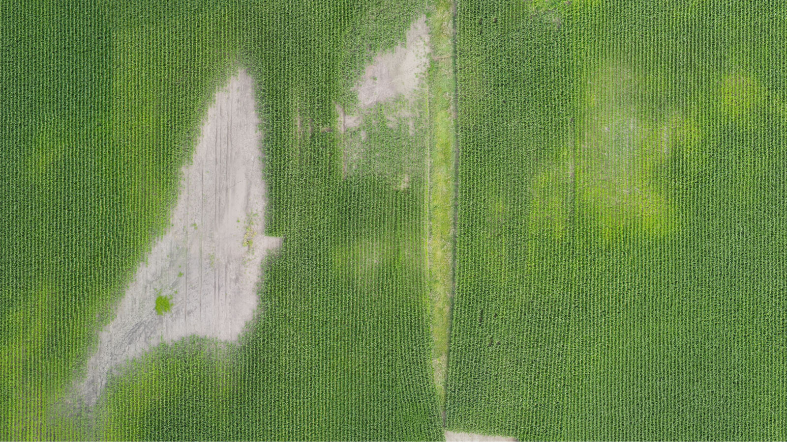
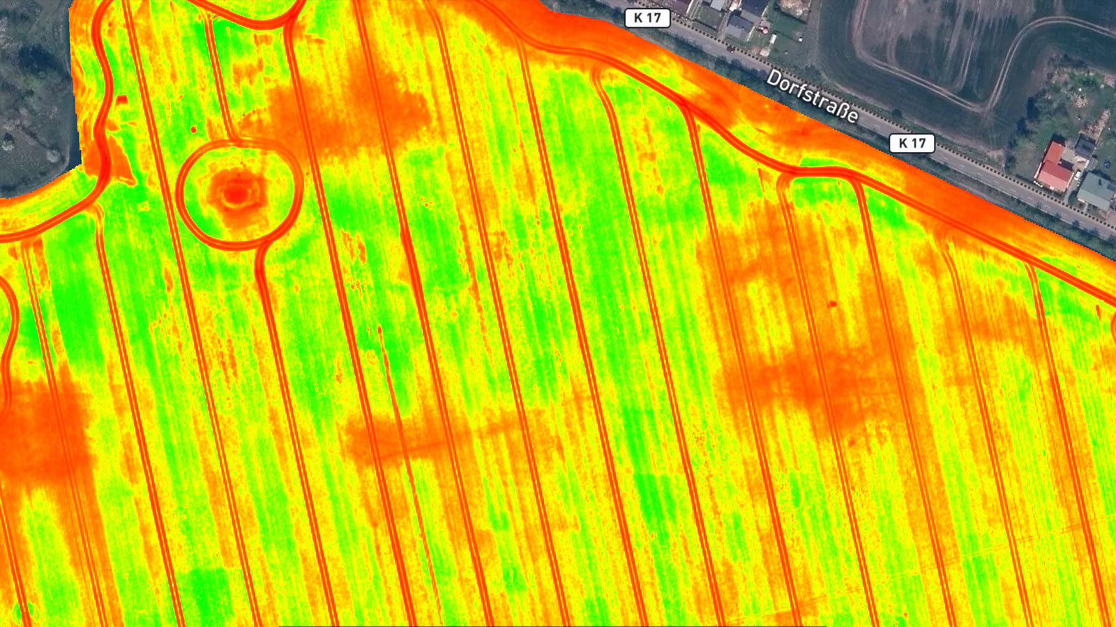
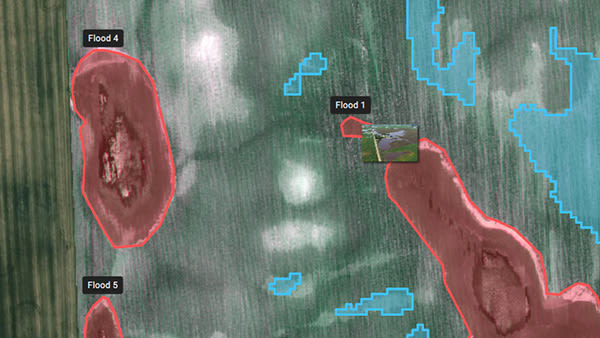
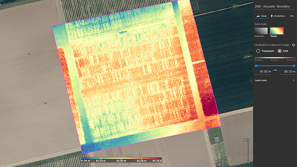
Maps of your fields at any stage, from satellite and/or drone imagery.
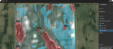
Crop-health maps, field reports, spot spraying and prescription maps for your machinery.
Share via PIX4Dcloud as PDF reports and industry-standard formats.
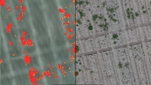
Ready-to-use, customizable variable-rate and spot-spray maps for spray drones, tractors and field sprayers.
Pair PIX4Dfields with your Ceres C31 and a multispectral camera for an end-to-end map → prescribe → spray loop — built and supported in the U.S., taught in English and Spanish.
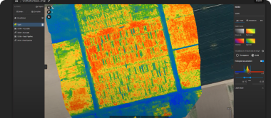
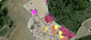
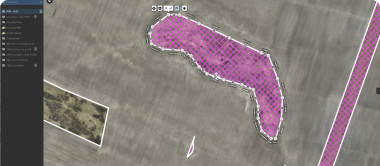
Unlimited acreage. Pick the output your decision needs.
Unlimited acreage on every plan. Yearly includes 100 satellite credits and free self-paced training — plus our bilingual onboarding.
* Yearly ($1,990) is Pix4D's published rate. Paying monthly for 12 months costs $4,188, so the yearly plan saves about 53%. Monthly and multi-year/perpetual prices are set by Yields Logic as authorized reseller; final license terms by Pix4D SA. The Ceres C31 drone is a separate one-time purchase.
Master the critical PIX4Dfields workflows for high-quality agricultural data and best practices for capturing RGB and multispectral imagery.
Core workflows to generate high-quality ag data and capture RGB/multispectral imagery with precision.
Results in a private setting, with a class tailored to you and your operation.
Schedule a workshop for your team, on a date and time that works for you.
Join a class on-site or online and interact directly with a trainer and other attendees.
*Indicative training prices set by Yields Logic; confirm current dates and rates when you book.
